WAM Animation for the Eastern Pacific

N.B.: These images are generated via automatic script every six hours from Navy data that can be found here. If something breaks, these images will be out of date. Please e-mail me (eben-at-habers-dot-us) in this case. Also, non-animated versions can be found at Chuck Tribolet's ' Conditions at a Glance' page which has direct links to the source data.

Northern Pacific At A Glance Page Current Buoy Readings in Monterey Bay

Monterey Bay Marine Forecast Offshore forecast

Note: Times shown are for the zero meridian, for California subtract 8 hours (winter) or 7 hours (daylight savings).
E.g. "12Z07DEC" is 4am, December 7 in California, "00Z07DEC" is 4pm, December 6.
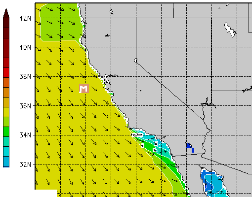
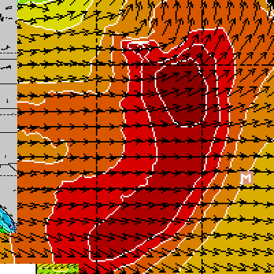
Mouse-over (don't click) maps above to animate. Mouse-over links below to change map to #hours in future. Click on a map to get a different page with just the animated gif (good for iphone).
Left Map: 000 006 012 018 024 030 036 042 048 060 072 Right Map: 000 012 024 036 048 060 072 084 096 108 120 132 144 156 168 180
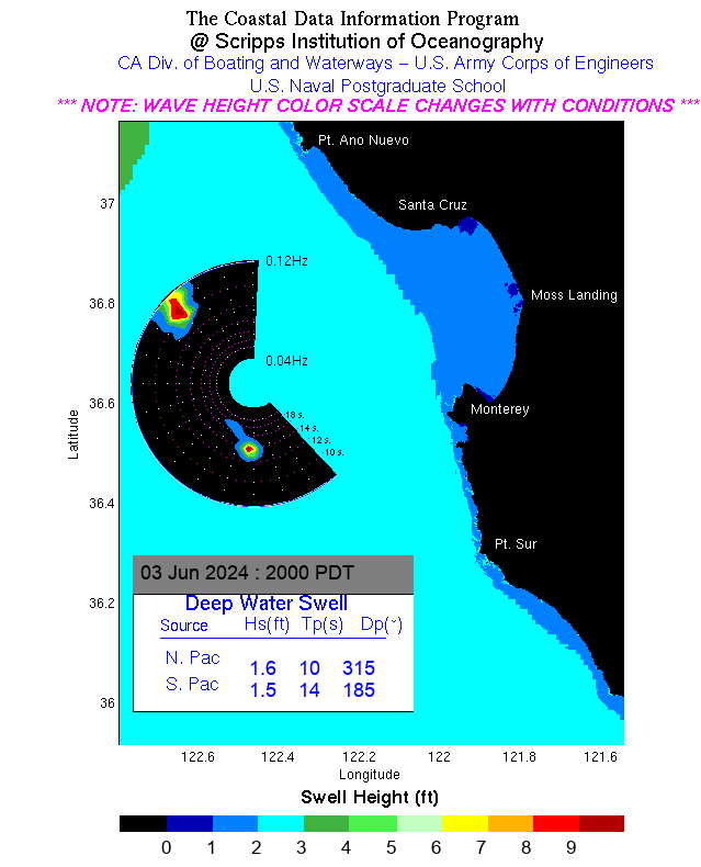
NEW: to start the animation, move the mouse over either map above. To reset the animation, move the mouse elsewhere.

Scripps Monterey Bay Swell Model

Scripps Monterey Bay Swell Model